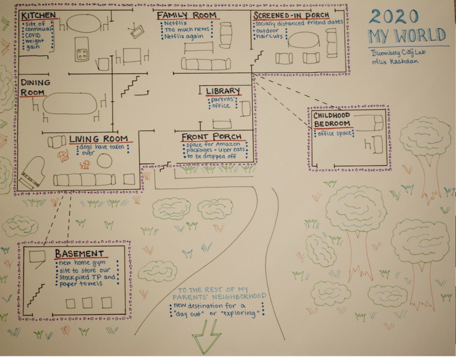
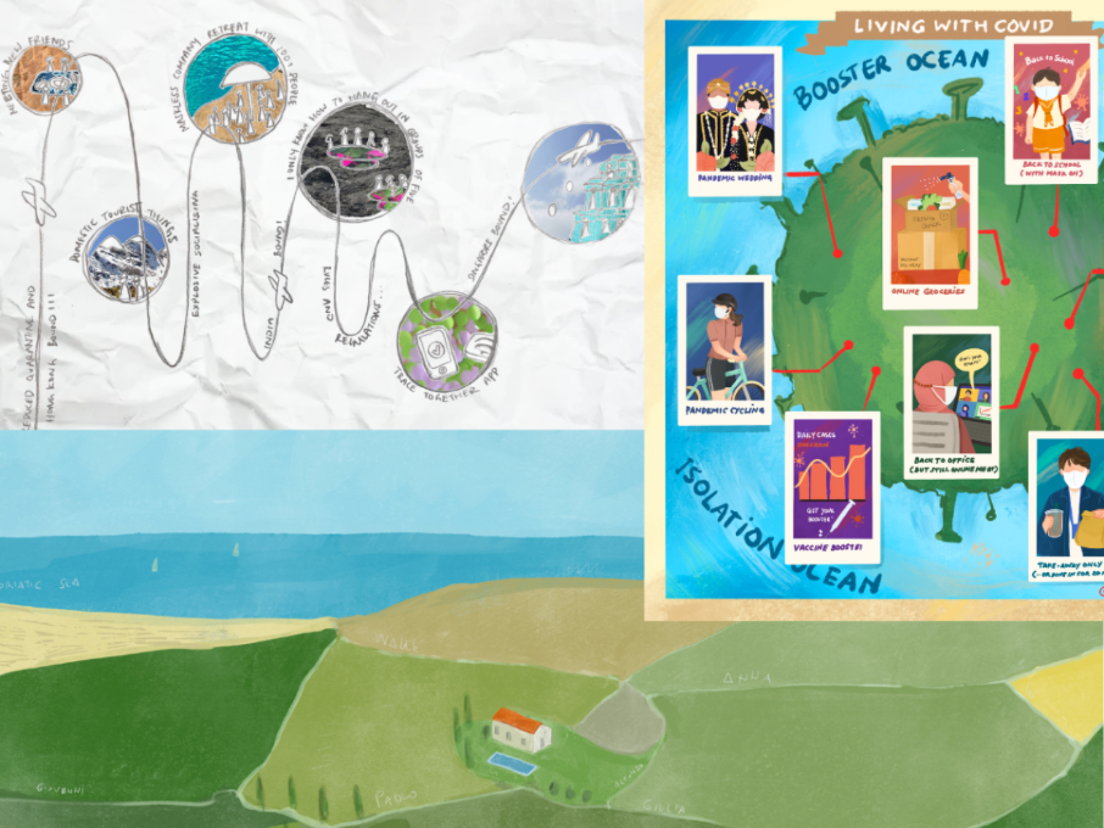
The Quarantine Atlas, a collaboration between Laura Bliss and Bloomberg CityLab, explores the relationship between spaces and the pandemic through hand-drawn maps submitted by CityLab readers. With over 65 maps, Bliss seeks to visualize the hidden dimensions of lives disrupted and reconstructed by the catastrophe of the pandemic. The project offers insights into the inner worlds of individuals during the first and second waves. Interspersed with the maps are essays by CityLab journalists, examining introspection and imagination in an analytical framework that views travel as a state of mind rather than physical movement. The maps, limited by lockdown rules, reveal personal emotions, ambitions, and fears within a regulated physical space, providing an atlas of interiority during COVID isolation.
Through this collective cartography, Bliss uncovers the fault lines of urban life, highlighting the disparities between marginalized and privileged individuals in their access to space. The project also emphasizes the need to recognize the uniqueness of each lockdown experience, despite the universal application of restrictions. By placing individual experiences and imaginative autobiography as a source of data alongside traditional pandemic trends, The Quarantine Atlas offers a visual, cartographic understanding of the pandemic’s impact on people and their environments.
 and
and 
Image Captions:
Image 1. Alix Kashdan, “My World 2020,” Bloomberg CityLab – Drawing of 19 November 2020, Vienna, Virginia, depicting Alix Kashdan’s map at her parents’ house and the surrounding neighborhood in the suburbs, where she temporarily relocated during the COVID-19 pandemic.Image 2. Clockwise from top left: Maps by readers Tiara Lui, Nabilla Nur Anisah and Alfonso Pezzi depict life in the third year of the Covid-19 pandemic via Bloomberg CityLab.
Citation: Bliss, Laura, editor. The Quarantine Atlas: Mapping Global Life Under COVID-19. Running Press, 19 April 2022. NON-FICTION, MAPS, VISUAL, APRIL 2020 | US. jt/jb/ig
Source Type: Visual Art
Country: United States
Date: 19-Apr-2020
Keywords: Mapping, Interior Spaces, Lockdown, United States, and Visual Art